Discovered through megafloods, this location perplexed scientists for several decades
In the early 1900s, a high school science teacher named J. Harlen Bretz found himself captivated by the unique geology of the Quincy Basin in eastern Washington. This intrigue would eventually lead him to make groundbreaking discoveries about the region's past.
The first farmers in the area dismissed the rocky parts as useless, naming them "scablands." Little did they know that these parts would become the focus of Bretz's research. The landscape of eastern Washington was repeatedly scoured by massive floods during the last ice age, approximately 18,000 to 13,000 years ago.
These floods were no ordinary events. The dam of Glacial Lake Missoula, a colossal lake formed by the advancing Cordilleran ice sheet, broke, releasing a torrent of water with ten times the combined flow of all the world's rivers. This floodwater, racing at speeds approaching 80 miles per hour, obliterated the terrain, leaving behind giant current ripples and gravel bars.
The floodwaters carved the famous Grand Coulee, a canyon up to three miles wide with walls up to a thousand feet high, and cut hundreds of waterfalls. They washed away entire hillsides, deposited gravel bars hundreds of feet high, carried rocks the size of cars and even small houses, and created a terrain of braided channels across eastern Washington.
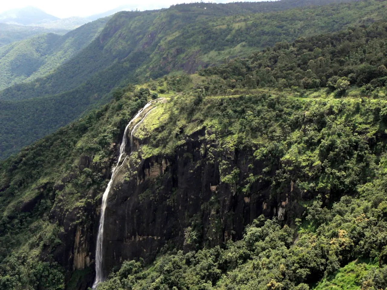
One of the most striking features of this flood-sculpted landscape is Dry Falls, a former waterfall located in eastern Washington, three miles wide and 400 feet high, which is now completely dry.
Initially, Bretz's conclusions, based on his field research, were met with scepticism. However, he maintained that a massive flood, perhaps the largest in Earth's history, was the only possible explanation for the region's features.
The key to the rapid erosion caused by the flood was the volcanic basalt that forms the bedrock of the Columbia Plateau. When basaltic lava cools into rock, it forms vertical hexagonal pillars that have weak bonds to each other, allowing the floodwaters to erode the bedrock chunk by chunk.
Subsequent research indicates that there were at least 80 or more floods in the scablands near the end of the last ice age. Richard Waitt, a geologist with the USGS, discovered that one of the sediment layers from the temporary flood lake contained ash from an eruption of Mt. St. Helens, implying that each of those layers must have represented a separate flood.
The floods might have happened during previous ice ages, suggesting that the most dramatic features of the scablands, like Grand Coulee and Dry Falls, were shaped by catastrophic erosion over an extended period of time. The floods carved canyons, cut waterfalls, and sculpted a terrain of braided waterways today known as the Channeled Scablands.
Bretz's work, initially controversial, has since been confirmed, earning him a place in the annals of geological history. His research has provided us with a fascinating glimpse into Earth's catastrophic past and continues to inspire geologists today.
Read also:
- Nightly sweat episodes linked to GERD: Crucial insights explained
- Antitussives: List of Examples, Functions, Adverse Reactions, and Additional Details
- Asthma Diagnosis: Exploring FeNO Tests and Related Treatments
- Unfortunate Financial Disarray for a Family from California After an Expensive Emergency Room Visit with Their Burned Infant


